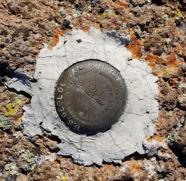
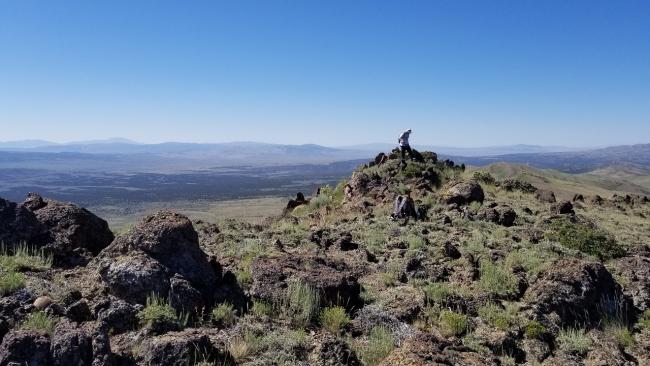
This was a first-time activation of the summit. There are two summits very close to each other with a shallow saddle. I ignored my GPS and arrived at the false summit and had to scurry over to the actual summit. This was a 400-foot (only 20-foot elevation) mistake. From where I parked, the hike to the summit was a 1 mile bushwack (including the mistake) through stunted sagebrush and some lava rock outcroppings. The elevation gain was around 500 feet. Returning to the Jeep I took a more circuitous route which eliminated some steep descending but added a ½ mile to the hike.
The view from the summit was stunning, as are most summits in the area. You can see forever. Due to the heavy snowfall this winter, the grass and shrubs were still green. I will certainly return in future years. If you are ambitious, you could also plan to activate Gallaher Mountain (W7N/EN-077), Middle Stack Mountain (W7N/EN-083), Blanchard Mountain (W7N/EN-071) or Ellen D Mountain (W7N/EN-043). Any of these other summits will require high clearance 4WD vehicles.
Directions: Turn east off Hwy 93 onto “Jackpot to Little Goose Road” at (41.94972, -114.68217). Continue on “Jackpot to Little Goose Road” for 3.25 miles and then turn right (south) onto an unnamed road at (41.92015, -114.63677). Continue for 1.43 miles to an intersection at (41.89980, -114.63286). Drive through the intersection on the main road and continue for 11.3 more miles to a hinged gate at (41.75745, -114.58539). There is a sign noting that you’ll be entering private property and to respect the posted rules. Just past the gate turn left (east) at (41.75714, -114.58526). Up to this point the road is definitely Prius friendly (an AWD vehicle with above average clearance could navigate from here, though I would not recommend it. A 4WD would be much more sensible). After turning left continue for 1.13 miles. There is an intersection at (41.74940, -114.57329) that appears to be the correct road that heads south. DO NOT TURN RIGHT. Continue on the previous road from this point for another 6.31 to a saddle (41.77162, -114.48307). This is where I parked and began the hike to the summit.
NOTE: There is a very faint road that “can” get you much closer to the summit. The intersection for this road is at (41.77283, -114.49121). At this time of year, the road was not visible from the main road but can be seen in Google Earth and from the summit. I looked very carefully as I was heading back and could make it out. You could certainly turn right (south) on this road and find another place to park and begin your hike.


