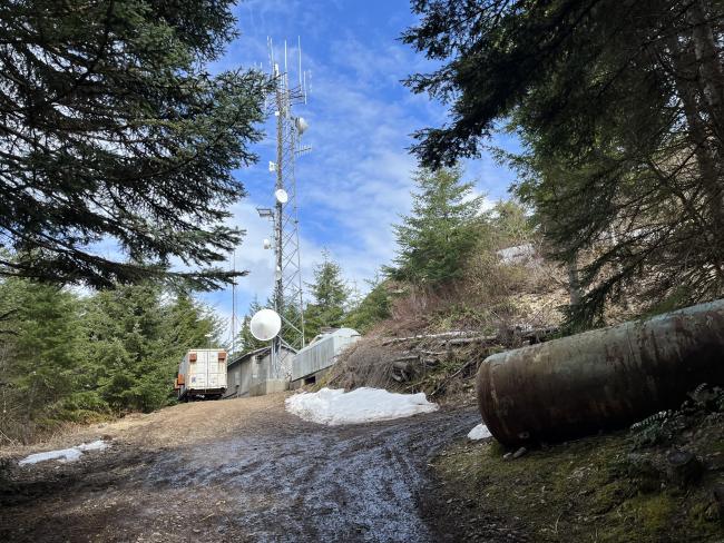
Davis Peak is very accessible to Portland Metro, with a half mile hike and offers an amazing view. The downside is a fair bit of RF interference from the installation sharing the peak with you.
The google directions were accurate, although I will note that the main road to the peak has 2 names, and signage alternates between them : "Aho Carson" and "Davis Peak Road". When google told us to take a right onto Davis Peak Road the sign at the turn said "Aho Carson".
You park at the green gate about half a mile from the summit. It's at a multi-fork in the road and there is plenty of room For a couple cars to park without blocking the road. When you get to the end of the road where the trailers are, keep going straight to pass the one on the left. Around the back of that one you can climb up to the summit over the top of the rock.
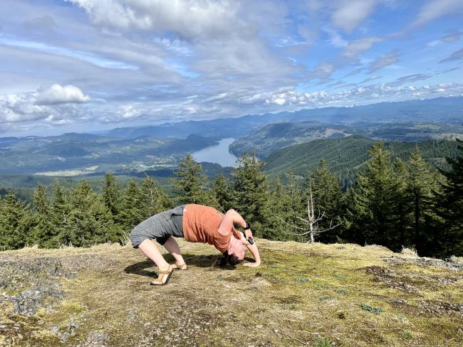
The peak reveals the a view of the majestic glory of the Pacific Northwest. Clouds were rudely blocking the top of Mt. Saint Helens for us that day, but the surrounding valley is lovely with Lake Merwin on one side and a view all the way to the Columbia on the other. Plenty of space on the rocky top to scatter radio gear
We experienced quite a bit of RF interference from the radio equipment on the summit. We were still able to pretty easily make several 2m contacts, although it took a bit of back and forth to be understood; it seems that folks could hear us sometimes, choppy/unclear others. See photo of KK7IUD for the best orientation to hold your HT for the best chance at success.
KK7DAK attempted some HF as well but was skunked:
"40m was trash, not only due to the solar conditions but there is a ton of QRM up there, probably due to the continuously running generator. They have a lot of bands in use as well and a lot of bleed over on 2m, even with a band pass filter. 20m was even worse"
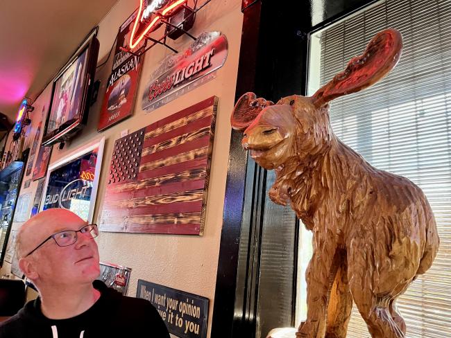
Post-activation refreshment: If you too are a sucker for decently priced pub fare with a corpulent animal theme, I'll suggest the Fat Moose in Woodland.


